GIS Files
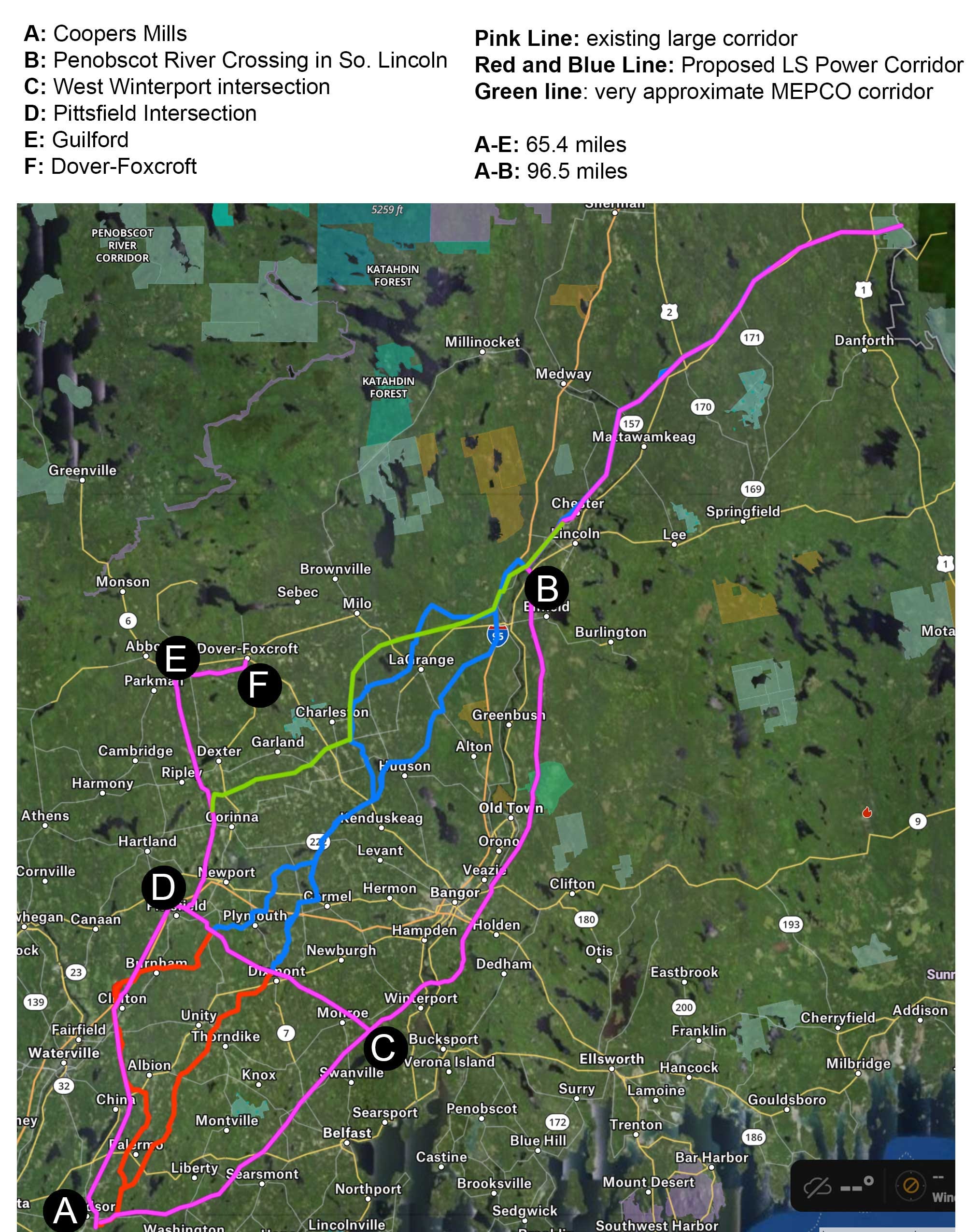
These files show the first proposed route from LS Power. That procurement was canceled in December 2023. However, as of this update (March 15 2024), LS Power appears to intend to bid again. If they are not able to achieve Joint Use rights (something the incumbent utilities vigorously oppose) - these routes might be revived. For now, the GIS files will stay here as a relic, which may or may not be useful in the future.
Oh, and yes, the incumbent utilities already own existing corridors. Thus, they would not need procure and/or take by eminent domain land from hundreds of new private landowners.
GPX Format
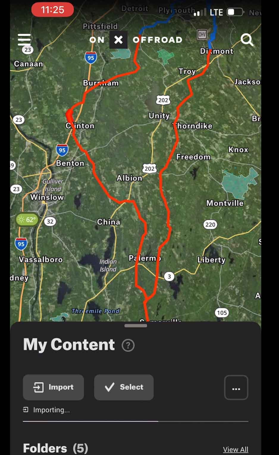
Here is the GIS file in gpx format which you can view in On X Maps
https://drive.google.com/file/d/19oABgaVxNd5Ct11uZhbfY7ckgHvx-ysG/view?usp=drive_link
Watch a video about how to import into OnXMaps.
KML Format
Here is the GIS file in kml format which can be viewed in Google Earth
https://drive.google.com/file/d/1-1wRJ2pTqVQirBtU1wgKu-LP_H52C3SF/view?usp=drive_link
Read about how I made this file.