GIS File for the proposed LS Power Transmission Line
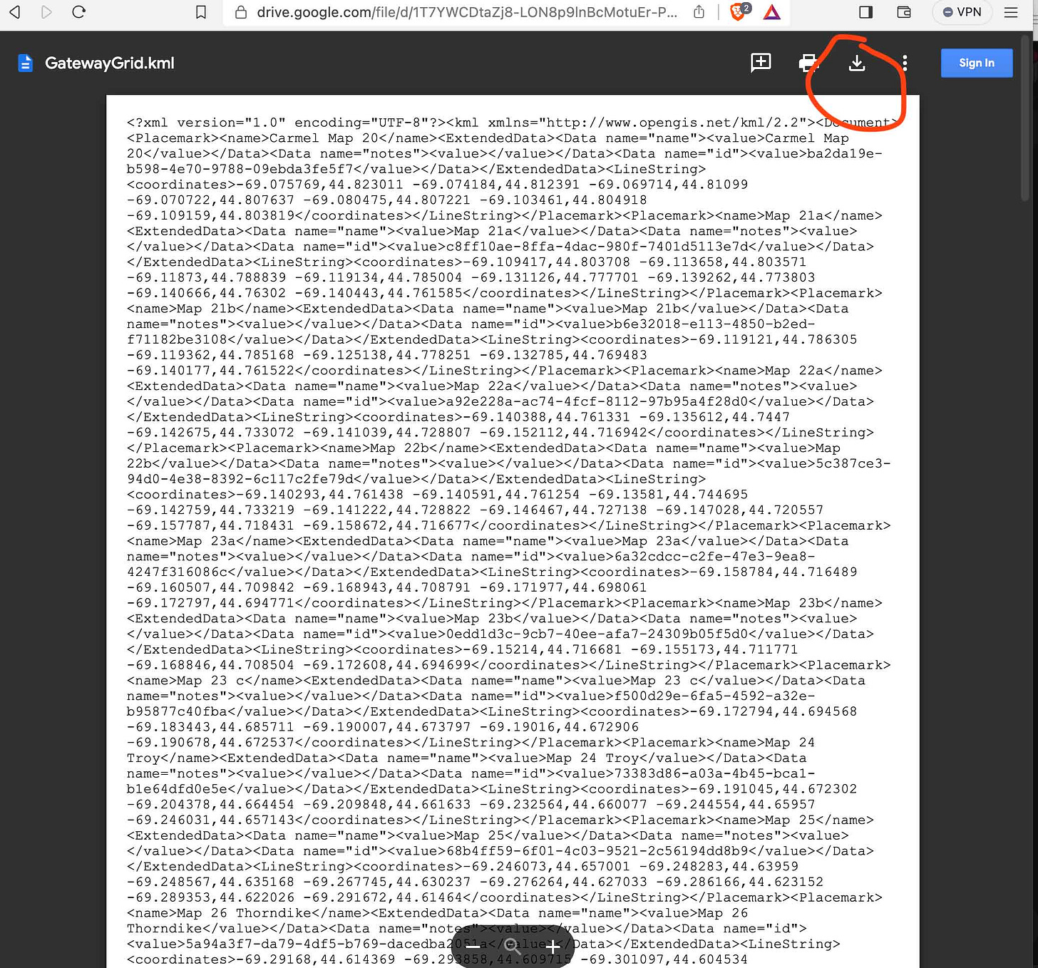
Downloadable kml file viewable in Google Earth
This past Monday, I was on the phone with Jason Nivens at LS Power. The PDF maps provided to landowners have no labels and no publically known parcel numbers, making it almost impossible to find out if one is impacted.
Impacted towns requested the GIS file, as did I.
LS Power refused to provide the file, and recommended that I digitize the proposed transmission line.
It took 2.5 hours. *
Process:
I printed out the entire route map PDF in color (the LS Maps Complete Potential Route Mapset)
While holding the paper printouts, I hand digitized the route line in OnXMaps.
You can download it below as a kml file. Any errors in the file are mine; if we had the actual GIS file from LS Power it would not have errors.
https://drive.google.com/file/d/1-1wRJ2pTqVQirBtU1wgKu-LP_H52C3SF/view?usp=drive_link
Because the PDF files are raster (image files) with a limited potential accuracy and limited resolution (zoom detail), digitizing this way introduces error- possible hundreds of feet in areas. The PDF file maps from LS Power have varying scales, which makes some regions more detailed than others.kml is a markup file (like xml) - if it opens as “code” in your browser, make sure you download the actual file and open it in Google Earth (or other program, many GIS programs import kml now.)
I signed up for a pro account at OnXMaps. ($99 per year; my cousin uses it for hunting and loves it.) OnXMaps already has parcel files installed and digitized for some of the towns, [not Albion or Benton] though the parcels might not be the most up to date.
It’s easy to use.
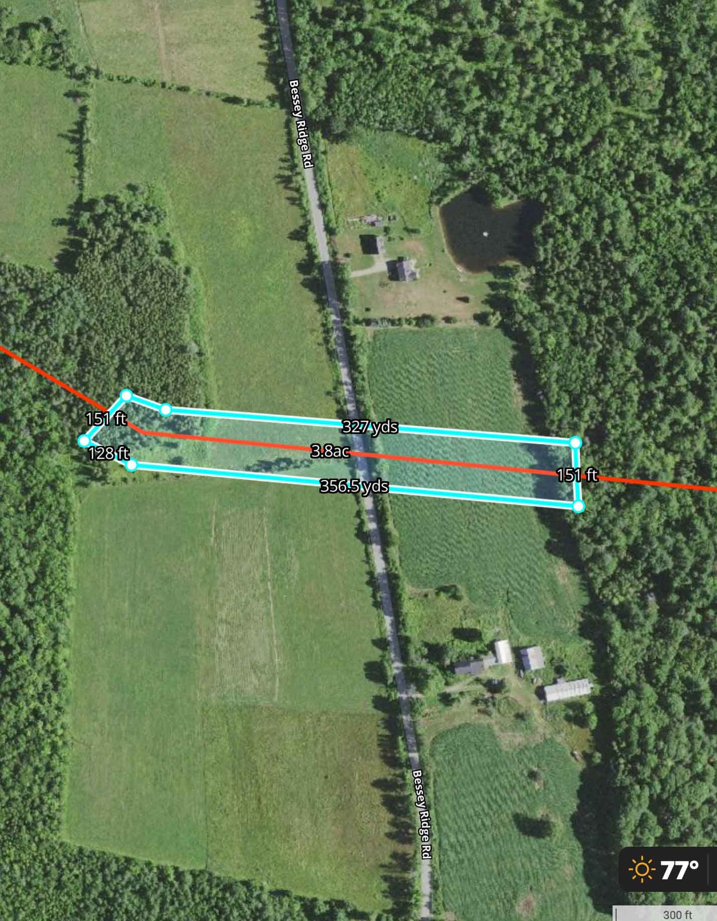
Below are shots of what the file looks like zoomed in (I’ve been adding measurements around farmland; the red is the proposed transmission line, the blue is a proposed 150’ buffer, which would typically be clearcut and probably sprayed with herbicide. I will make the buffer measurements kml file available when complete.)
This is how the file looks in Google Earth - you can click on part of the line and find out to which Map number from the LS Power PDF it correlates. Apparently you can add parcels in Google Earth too - but I haven’t done that.
*I can assure you though, designing the transmission corridor took them a lot longer than 2.5 hours. Will add details on that later.
Read this article to understand WHY and HOW the lines can be buried High Voltage DC. There are potentially a dozen corridors in the works and no comprehensive plan. Stop Gateway Grid, we need to plan ahead.
New Hampshire and Vermont are doing it underground -check out Twin State Clean Energy Link - 75 miles underground and 211 miles total, most of which will be in existing corridors.


