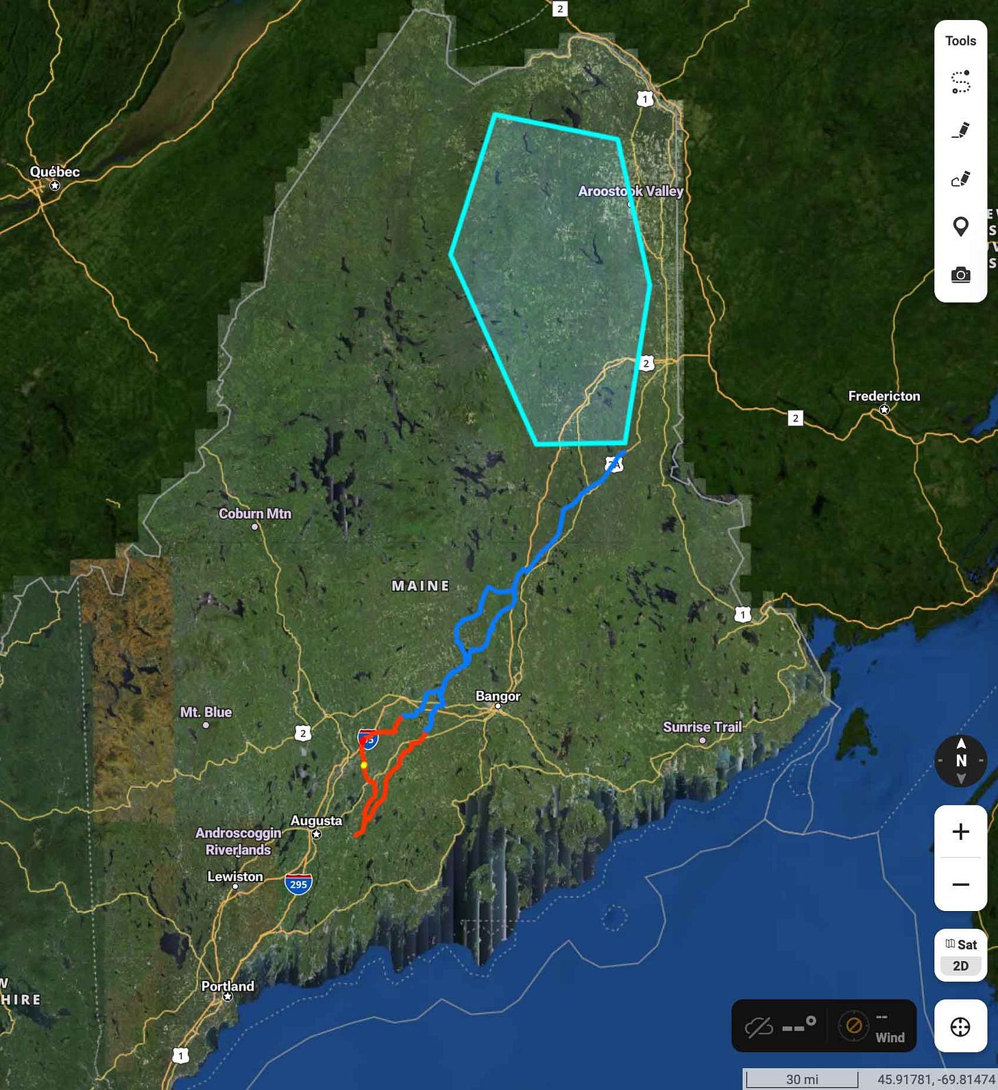
What do 12 wind farms look like?
In order to meet Massachusetts' renewable energy needs, we would need 12 King Pine sized farms
At this point, I hope you, dear readers, have assimilated the information offered by Professional Engineer Andrew Ballentyne in this Informative Bulletin.
It is necessary to understand what follows.
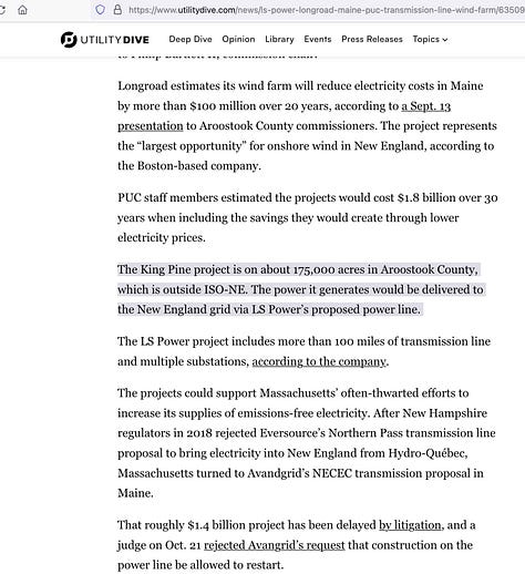
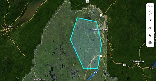
The King Pine Wind Energy Project has a reported project area of 175,000 acres. However, there is a little discrepancy and some strange wording. At least two separate articles reported the project as 175k acres, while the King Pine website uses clever wording and states 4500 “new and previously cleared” acres. What does this all mean?


Like LS Power, King Pines is using the “direct impact” method of calculation.
Turbines need to be spaced out, and the larger they are, the more space they need.
The King Pine project is 170 turbines for a wind power plant of 1000MW total, with towers at “4.5MW to 7+MW, with tower heights ranging from 118m-133m (387ft-436ft) and rotor diameters ranging from 150m-163m (492ft-535ft).” King Pines FAQ
This is a study from the National Renewable Energy Laboratory describing land use requirements for wind power plants.
Some of the highlights:
Quantifying the area of a wind power plant is challenging given the discontinuous nature of its configuration. “Area” includes not only land directly disturbed by installation of the turbines, but also the surrounding area that potentially may be impacted. In reviewing various environmental impact assessments and other evaluations of wind plant land use, it appears that there are two general types of “areas” considered. The first is the direct surface area impact (i.e., disturbed land) due to plant construction and infrastructure. The second is more vaguely defined, but is associated with the total area of the wind power plant as a whole. (page 2)
So we are comparing direct impact (where the poles and roads go) with total project size - because if wind turbines are spaced too close, they are less efficient.
Page 14 of the report shows a distribution graph of project sizes. A hectare is 2.47 acres. So, it looks like most projects are 40-74 acres per MW. Some are more. Apparently King Pines is more - or are they planning to oversize capacity, like is being done in the transmission line?
All that summarized, we need to assume that this 1000MW project (operating at 100% efficiency, which does not happen with wind power!) is going to use the actual project area of 175k acres. Massachusetts’ stated 2050 net zero energy goals would require 12 projects of this size to be built. What happens if there are 12 projects this size in Northern Maine? What does 2.1 million acres look like? It’s 9% of the state landmass. This is what would be required to supply Massachusetts’ net-zero goals.
P.S.
Do you care about animals? I happen to be an animal lover.
From the King Pines FAQ:
A primary strategy to avoid impact on bats is to reduce turbine operation during conditions when bats are most likely to be present. Bats hibernate during winter months and, in northern Maine, only fly from April to the end of September. During these warmer months turbine blades will not operate during the nighttime at low wind speeds which will reduce the potential impact during their highest activity times.
Avoidance of high use areas with attractants for greater bird use is the key to minimizing the potential effects on birds. King Pine Wind is in a northern Maine forest away from large rivers and the coast which can be higher use areas for birds.


